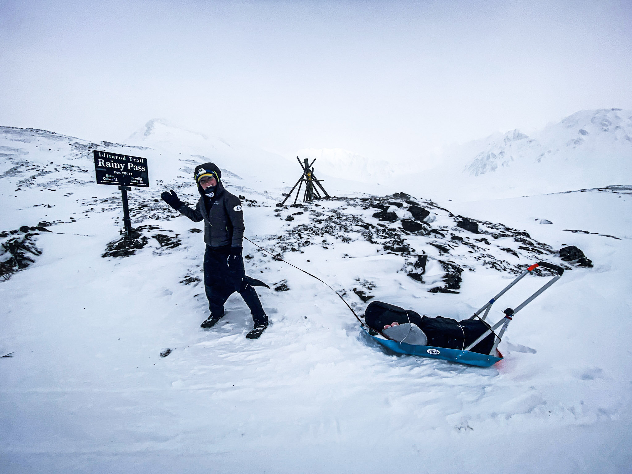


Baffin Island. If you’re not a climber, arctic adventurer, or Northerner, you might be scratching your head: where on earth is that?
If you are a climber, you know that Baffin Island is, well… Baffin Island. Granite domes, towering sea cliffs, big rivers and even bigger glaciers: the land of giants.

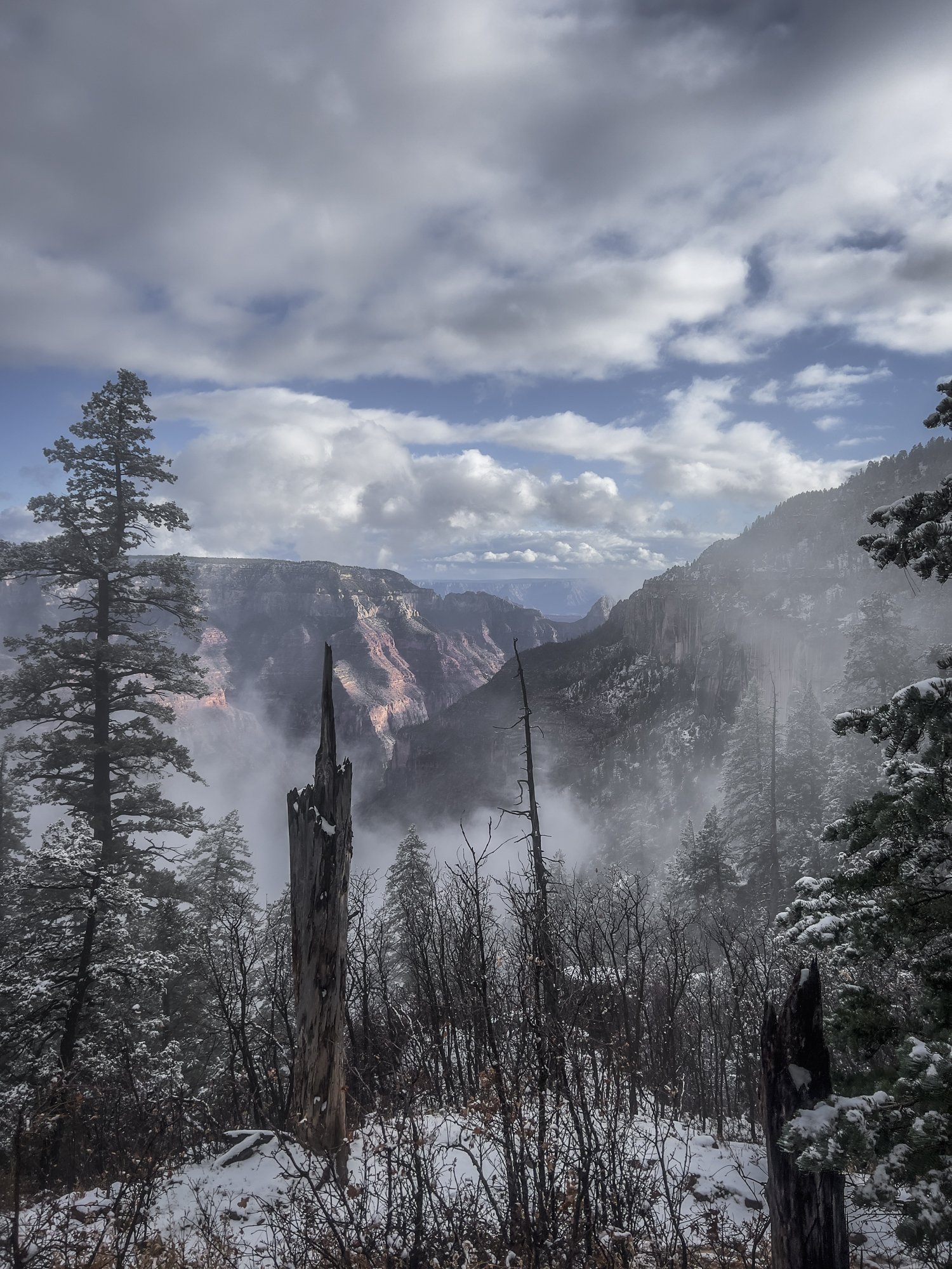
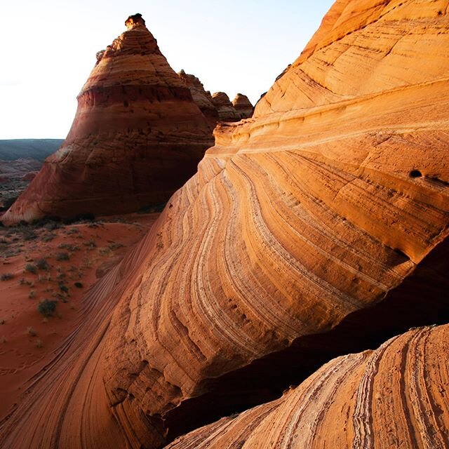
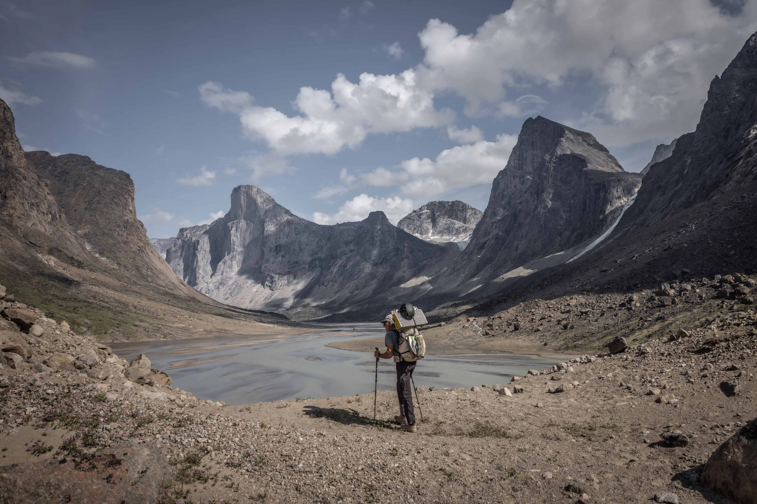
The heart of the Weasel Valley: Auyuittuq National Park, Baffin Island (Nunavut, Canada)
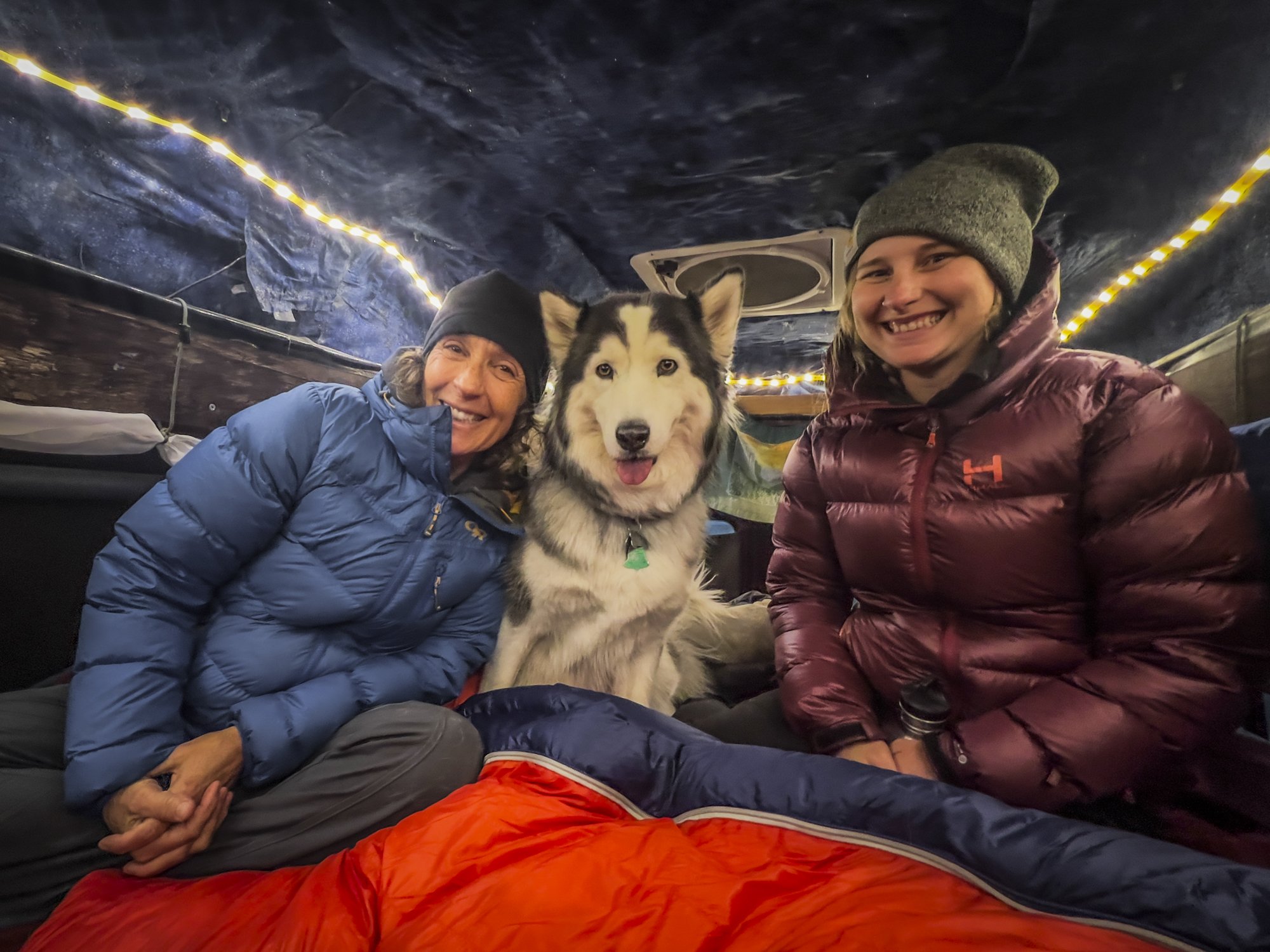
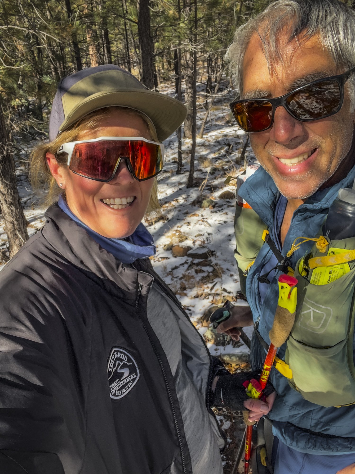
I don’t remember when I first learned about Baffin Island. I do remember that, as soon as I saw those photos of mystical ice, rock, and solitude, I knew that I had to go. Years later, I met my now-husband Paul, who regaled me with his wild tale of adventure and survival in Baffin’s Sam Ford Fjord that almost cost him his life in 1995. Fast forward another decade, and Paul and I turned my long-held dreams of visiting Baffin into a summer expedition to celebrate our respective 40th and 65th birthdays. Without much discussion we zeroed in on Auyuittuq National Park and the Weasel Valley, arguably the epicenter of established (and exploratory) rock climbs in Baffin Island.

Approaching Mount Asgard and Loki
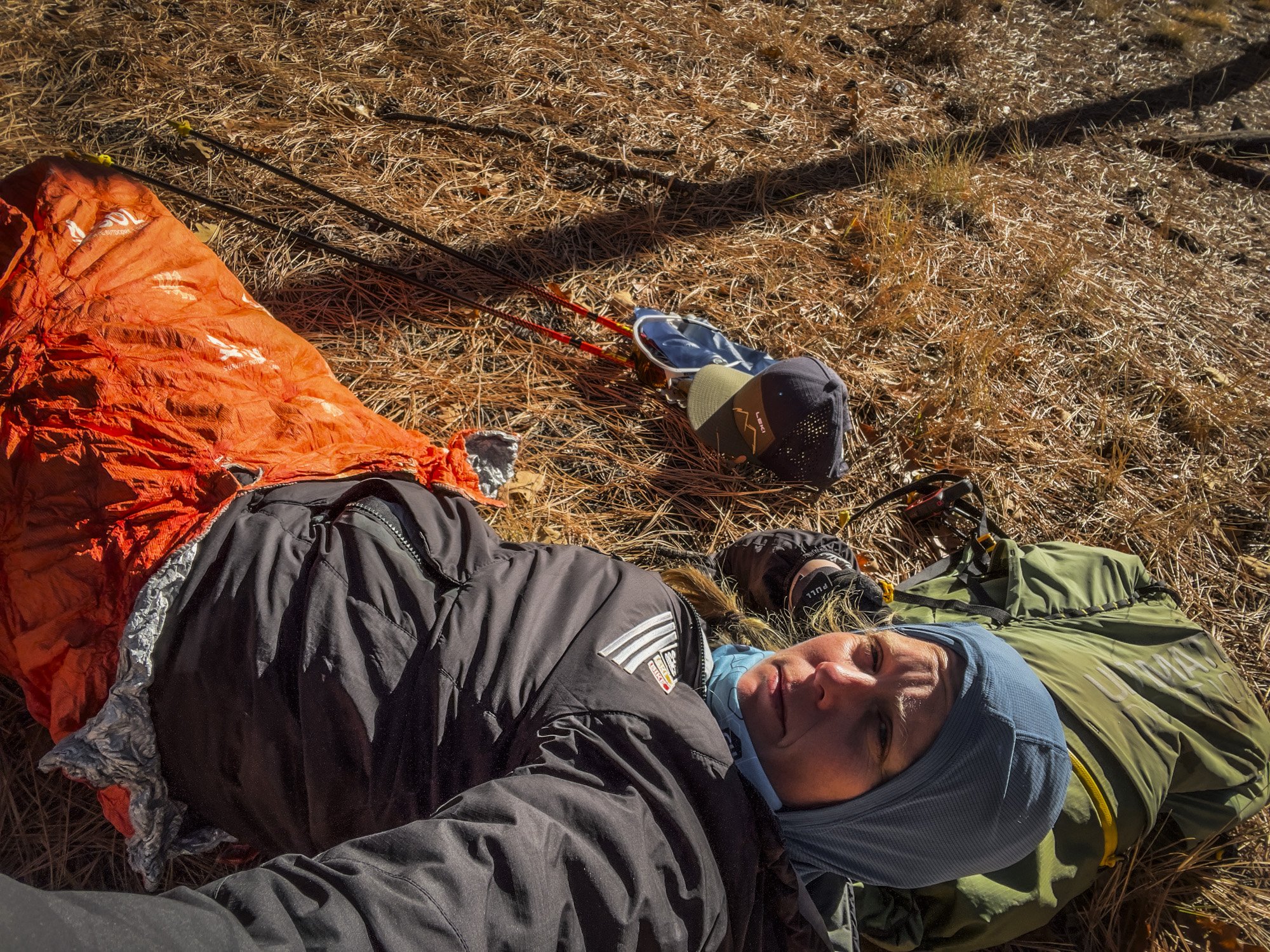
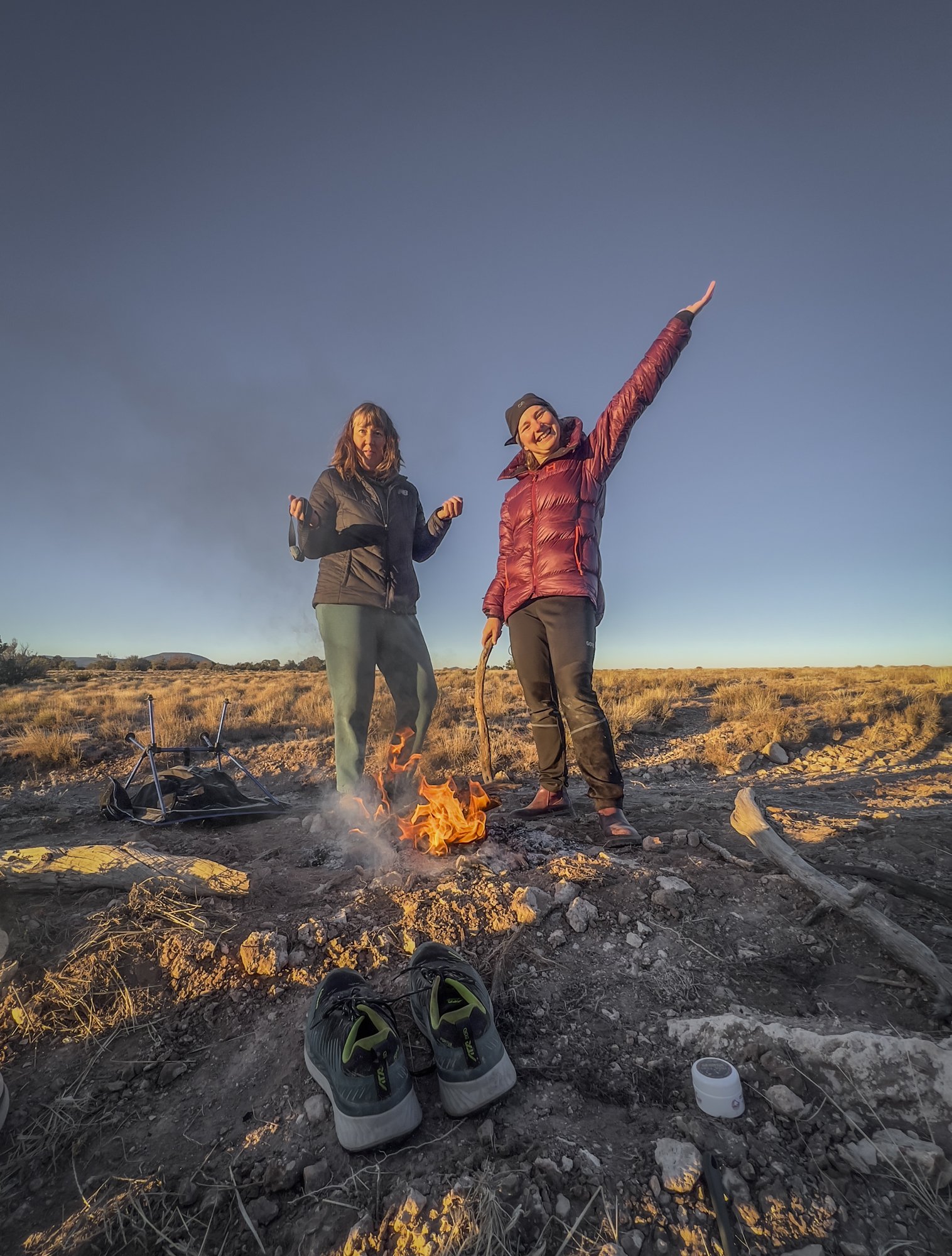
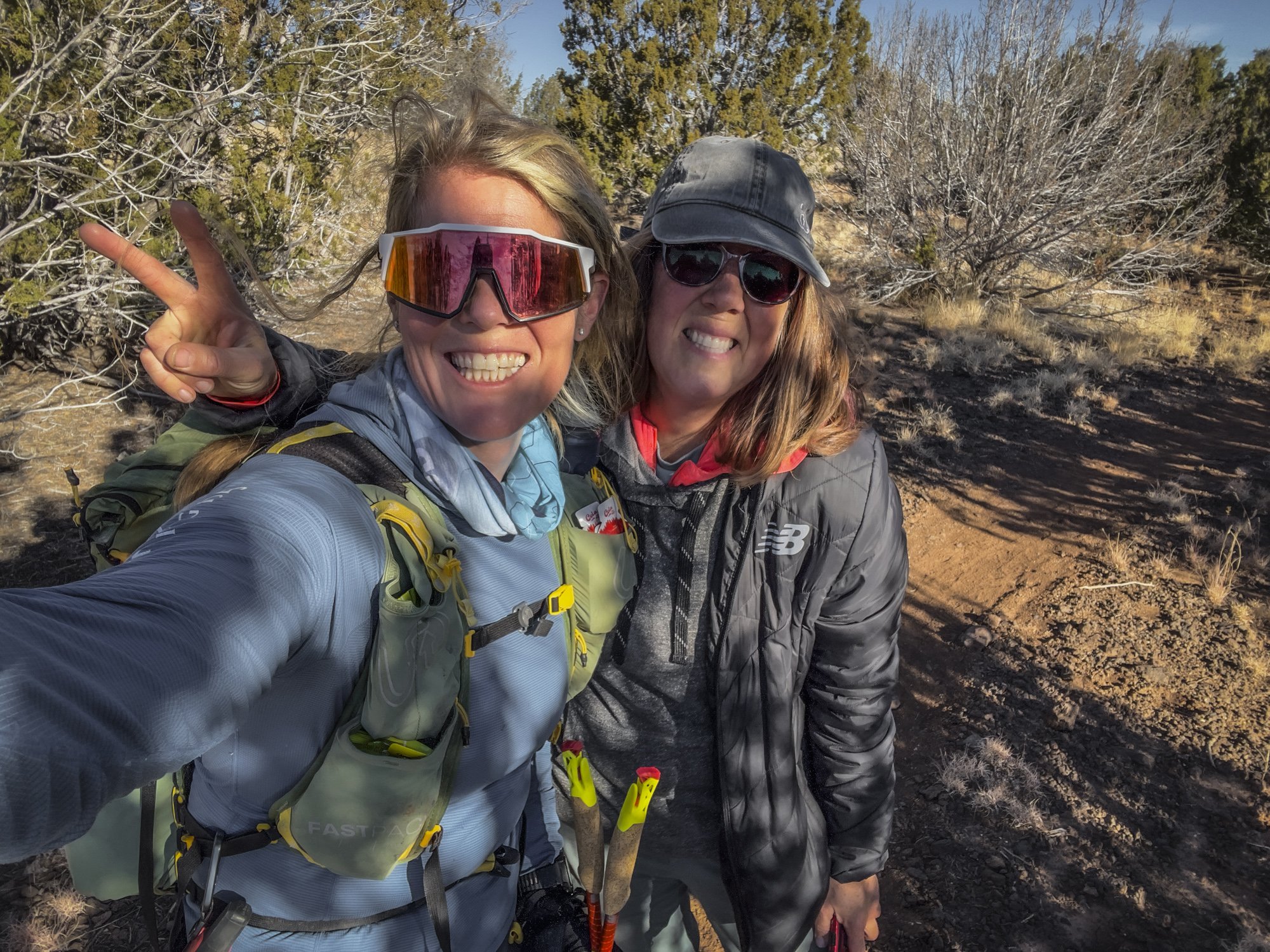
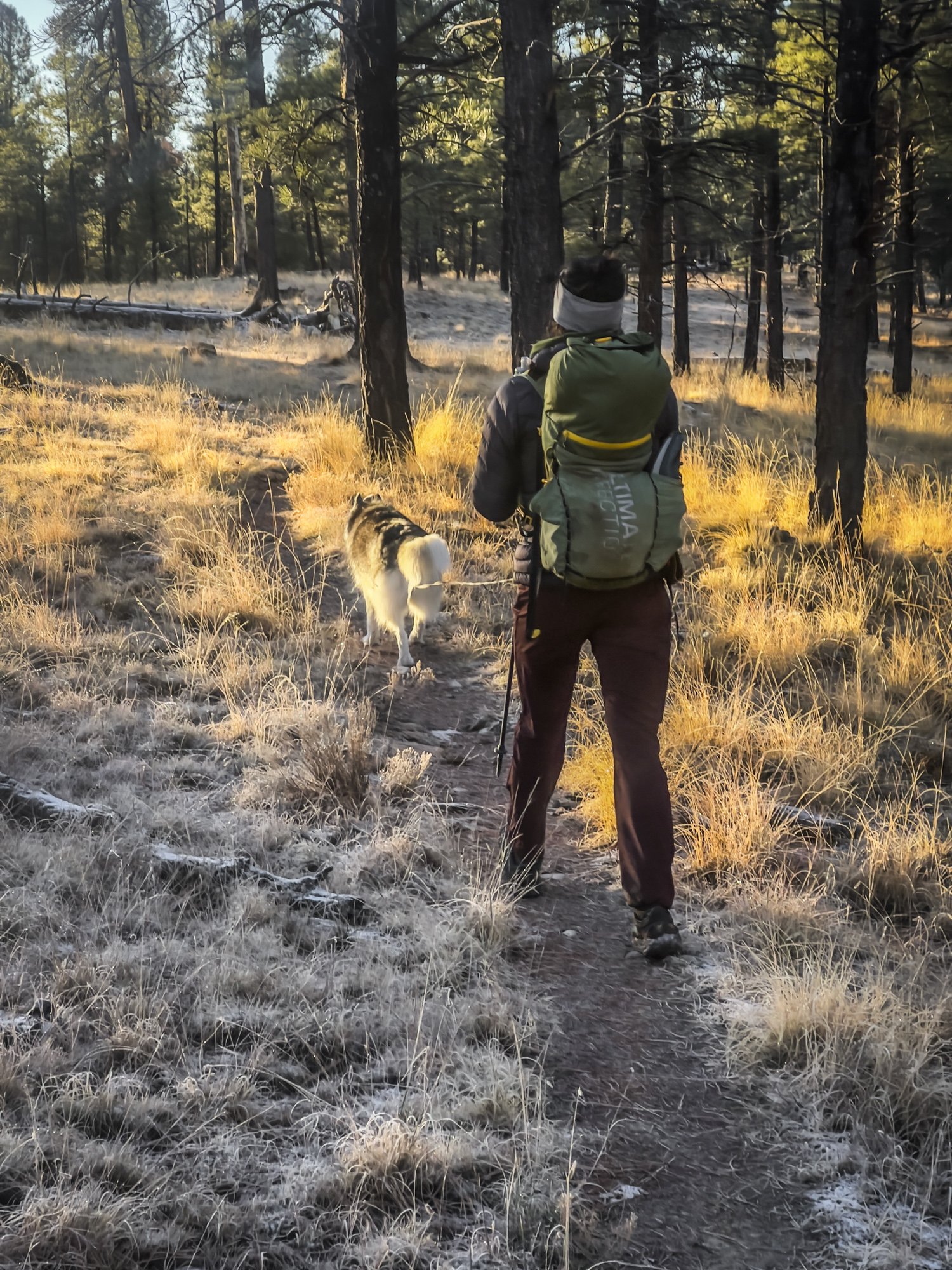
We spent three weeks in the backcountry, savoring our presence and humanity amidst the stark beauty of the arctic. Our time in the Weasel Valley was over before we knew it; as we exited the park, we both knew that we could easily have stayed for another three weeks. Our adventures, and what happened in those three weeks, is the topic of another story, but in the meantime I want to capture some of my travel planning & logistics insights before they slip from memory.
Here is what, in retrospect, I wish I had known about traveling to and in Baffin Island before we planned our expedition.
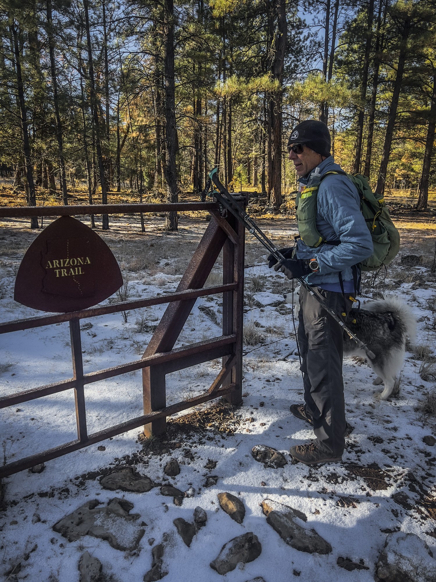
Auyuittug National Park and the Akshuyak Pass Traverse is a bucket list item for passionate hikers. Even though the area is incredible remote, the park’s short summer season and its bucket list status means that high-season travel equals a high likelihood of encounters with other groups including large guided groups. On most days, we only saw two or three other people; but we also had a day where we were dodging three different large hiking and climbing groups that totaled a whopping 24 people. Peter, one of the two local outfitters in Pangnirtung and a former park ranger, estimated that some 300 visitors came to the Weasel Valley in the 2025 season the majority of whom hiked the Akshuyak Pass Traverse during the late July - mid August window.
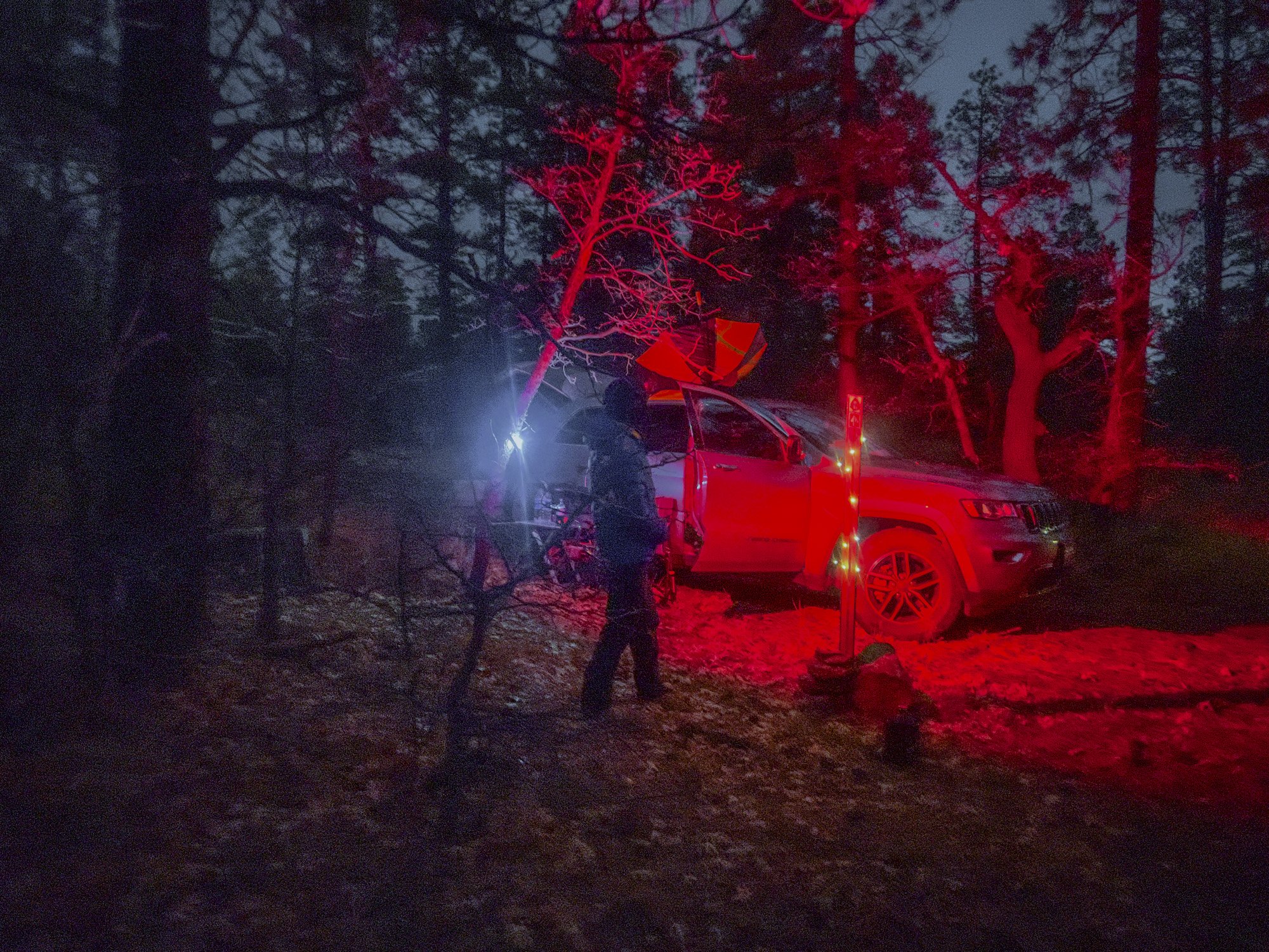
To approach Auyuittuq and the Weasel Valley you’ll need to either fly to Pangnirtung - the hamlet at the mouth of the fjord south of the park, best for the Weasel Valley, Thor, Asgard & Summit Lake - or Qik(iqtarjuaq) on the north side of the park. Qik provides access to the Owl and June Valleys and is the traditional starting point of the Akshuyak Pass traverse. To get to either of those small hamlets, you’ll first need to fly to Iqaluit, the capital of the province of Nunavut, which, in turn, is typically accessed from Ottawa. Lodging in all of the Northern communities is extremely limited and everything, from rooms to groceries to restaurant meals, if available, is very expensive - which makes perfect sense, given that all goods have to arrive by air. This also applies to Iqaluit, which we found to be even more expensive than Pangirtung.
Summer boat access to the park is dictated by spring breakup, the period at which travel on the sea ice by snow machine is no longer possible but the water isn’t yet open enough for travel by boat. Breakup can run its course as early as June or as late as the end of July. In 2025, the first day of Weasel Valley boat access from Pangnirtung was July 7. Hiking from Pangnirtung to the southern border of Akshuyak National Park looks plausible but would add a minimum of 20 miles (likely 3+ full days of hiking) to any trip, and take you to the east side of the Weasel River which is the less popular side of the Weasel Valley though it would provide direct access to prize peaks like Ulu and Mount Thor.
Everything in the Weasel Valley is a lot bigger than it looks. Mount Thor, at first glance, inspires comparisons to Half Dome - yet it is almost a full two miles wide at its base, and twice (!!) as tall as its Yosemite ‘baby brother.’ At the same time, what looks like a comparatively small moraine, may actually have an elevation gain of 1,000ft or more; facing a 2,000ft+ ascent through moraine hell (or, as I ended up dubbing it: more-anal activity) to gain a glacier basin is not unusual.
The small Northern communities of Pangnirtung and Qikiqtarjuaq are frequently weathered in, which means that flights in and out are subject to weather cancellations. From conversations with locals in Pangnirtung we learned that Northerners know this and follow two simple travel rules: one, always book directly with Canadian North; two, don’t plan anything for the first six days following your intended return date. Yep, you read that right: give yourself an entire week’s grace period.
We unfortunately did not follow this strategy: having booked tickets from Las Vegas to Iqaluit on booking.com and a separate roundtrip from Iqaluit to Pangnirtung directly with Canadian North meant that we had to buy all new - VERY expensive and late - tickets when our cancelled return flights from Pangnirtung made us miss the booking.com return leg from Iqaluit to Las Vegas. Our original itinerary had us arriving back home on a Monday; instead, the Pangnirtung —> Iqaluit cancellation led to us having to spend five additional nights in Pangnirtung, Iqaluit and Ottawa. We did not make it back until the following Saturday (surprise: the locals were right with their guidance of budgeting a six day travel grace period), and had to spend >$2,500 per person for our new return flights. Lodging & food expenses for the additional week on the road easily surpassed another $1,000 per person due to the high cost of living in the North.
What’s my takeaway? Baffin Island, specifically the Weasel Valley, may be a little bit more “on the map” than I had originally anticipated — but that doesn’t make traveling here any less of an adventure. I have no doubt that I will be back one day, possibly at an earlier time of the year to experience more cold and solitude, and possibly with a visit to less sought-after and *even* more remote areas than Auyuittuq’s Weasel Valley.
Auyuittuq National Park IS remote and you’ll encounter few other visitors - but 90%+ of all those who do visit the park spend their time in the Weasel Valley.